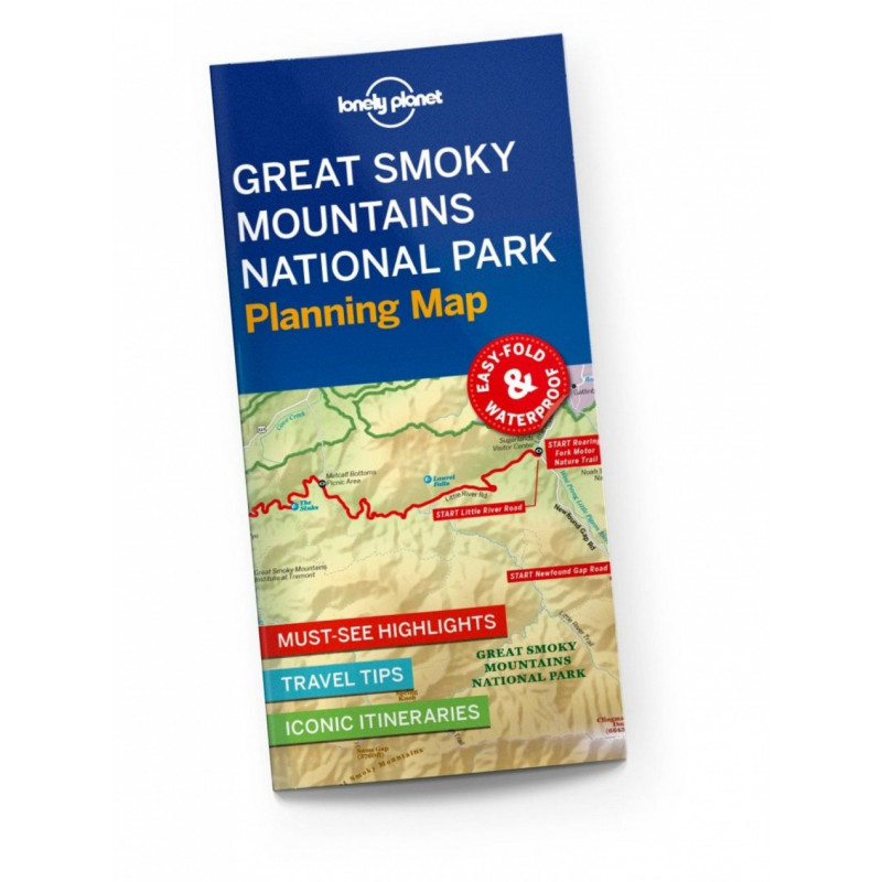
Durable and waterproof, with a handy slipcase and an easy-fold format, Lonely Planet’s Great Smoky Mountains National Park Planning Map helps you get around with ease.Get more from your map and your trip with images and information about top attractions, itinerary suggestions, a transport guide, planning information, themed lists and practical travel tips.Durable and waterproofEasy-fold format and convenient sizeHandy slipcaseFull color and easy to useBefore-you-go infoBeautiful imageryTailored itinerariesCan’t-miss regional highlightsDetailed town indexTransport plannerThemed listsCoverage Includes: Noah ’Bud’ Ogle Nature Trail, Grotto Falls, Home of Ephraim Bales, Alfred Reagan Place, Place Of A Thousand Drips, Chimney Tops, Alum Cave Bluffs, Newfound Gap, Oconaluftee Valley Overlook, Mingus Mill, Sugarlands Visitor Center, Metcalf Bottoms Picnic Area, Townsend Wye, Great Smoky Mountains Institute At Tremont, Cades CoveBook DetailsISBN: 97817886859552 pages, 2pp color, 1 maps | Dimensions: 95mm × 197mmNext edition due: Mar 2024