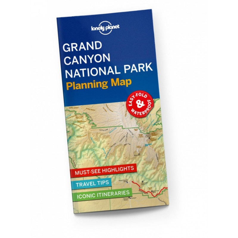
Durable and waterproof, with a handy slipcase and an easy-fold format, Lonely Planet’s Grand Canyon National Park Planning Map helps you get around with ease.Get more from your map and your trip with images and information about top attractions, itinerary suggestions, a transport guide, planning information, themed lists and practical travel tips.Durable and waterproofEasy-fold format and convenient sizeHandy slipcaseFull color and easy to useBefore-you-go infoBeautiful imageryTailored itinerariesCan’t-miss regional highlightsDetailed town indexTransport plannerThemed listsCovers North Rim, North Kaibab Trail, Grand Canyon Lodge, Cape Royal Point, Point Imperial, South Rim, Grand Canyon Village, Desert View Watchtower, Shoshone Point, South Kaibab Trail, Colorado River, Deer Creek Falls, Havasu Canyon, Matkatamiba, Phantom Ranch (Canyon Bottom), Flagstaff, TuweepBook DetailsISBN: 97817886859482 pages, 2pp color, 1 maps | Dimensions: 95mm × 197mmNext edition due: Mar 2024